Konfersi Technologies
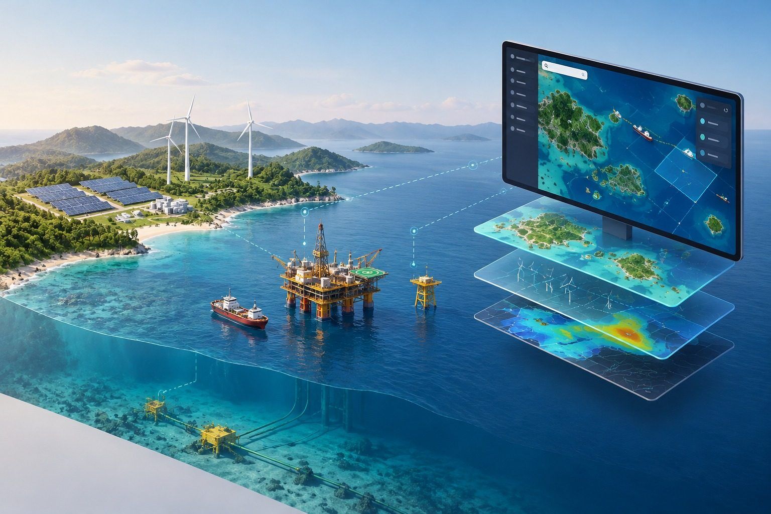
A service that supports building the digital technology your work needs: digital twins, WebGIS and internal calculation apps for Engineering and Consulting.
Digital technology for Engineering and Consulting
DIGITAL TECHNOLOGY
Software that works the way your discipline does
Konfersi Technologies builds the digital tools around your analysis: a 3D twin that shows how an asset behaves, a WebGIS that puts layers and surveys in one place, or an internal calculator that replaces a spreadsheet only one person understands. We work with Engineering and Consulting teams and the industries that depend on them, and we start from your data and your method.
- Digital twins of sites, assets and infrastructure, built from your drawings and data
- WebGIS portals for project and survey data
- Calculation apps that encode your in-house methods
- Built around your engineering and project data
Models shown on this page are simulations, not forecasts. They use public terrain, imagery and wind data and published engineering formulas. The turbine layout is sample data. What a twin built from your drawings can show depends on those drawings. Project work states its data sources and assumptions in writing.
- Engineering and Consulting
Digital Twin
3D MODELS AND YOUR DATA
Interactive models of sites and assets that you can rotate, inspect and run what-if cases on, with project documents attached to each asset
WebGIS
SPATIAL PORTALS
Maps, layers and survey data shared through a browser, with no desktop GIS needed
Calculation Apps
INTERNAL TOOLS
Your engineering methods as checked, repeatable applications for the whole team
Data Pipelines
SOURCE TO SCREEN
Preparing terrain, wind, climate and survey datasets so the tool can use them
Digital twins
Interactive 3D models of plants, grids and sites, placed on a map from CAD drawings (DWG, DXF) and public data, with an asset inspector and linked documents
WebGIS
Browser maps for survey, constraint and monitoring data, shaped to your project
Calculation apps
Internal calculators for design, screening and reporting, built from your methods
Consulting studies
Scoped studies and assessments, with data sources and assumptions stated in writing
Engineering design support
Calculation and modelling support for design, screening and reporting
Site assessment
Terrain, siting and constraint reviews for planning
WHAT WE BUILD
From a first prototype to a tool your team uses daily
Every tool is built to your project's requirements, not sold as a finished product. We scope with your engineers, build in short cycles and hand over tools your team can run, check and extend. Each project gets its own set-up: branding, views, models and asset information.
Study deliverables
- Scope and data review
- Working prototype for your team to try
- Production web application
- Method notes, data sources, assumptions and user guide
- Training and ongoing support
Get access
Bring Konfersi into your next project
Tell us about your team and data needs. We will set up credentials and help connect your workflow to Konfersi.
Standards
Quality, compliance and trusted science
Every study builds on recognised data sources and follows international guidance for offshore, coastal and climate work.
Data Systems and Sources
Integrating atmospheric reanalysis, oceanographic model outputs, satellite observations, and tide gauge measurements from globally recognized sources including ERA5, CMEMS, FES2022, UHSLC, and historical tropical cyclone archives to deliver robust metocean and climate intelligence.
Compliance and Guidelines
Studies are aligned with internationally recognized standards and industry best practices, including guidance from DNV, ISO, WMO, IFC, and applicable environmental and spatial planning regulations.
Konfersi Metocean Climate Consultant
Registered Metocean and Environmental Climate Consultant. Delivering engineering-grade analytics for critical offshore and onshore infrastructure, renewable energy, and marine operations.